AERIAL PHOTOGRAPHY
FAA CERTIFIED PART 107 DRONE PILOT & AERIAL PHOTOGRAPHER
Serving Central Massachusetts, Worcester County, Northern Rhode Island and the New England area.
Star Island - Montauk, NY
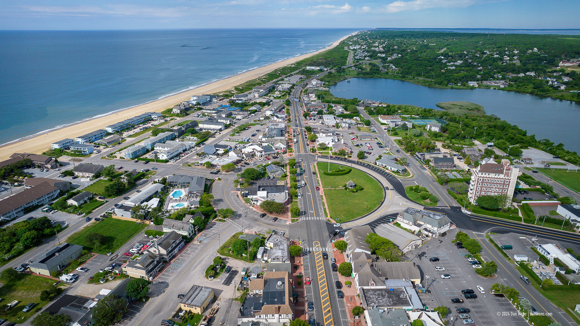
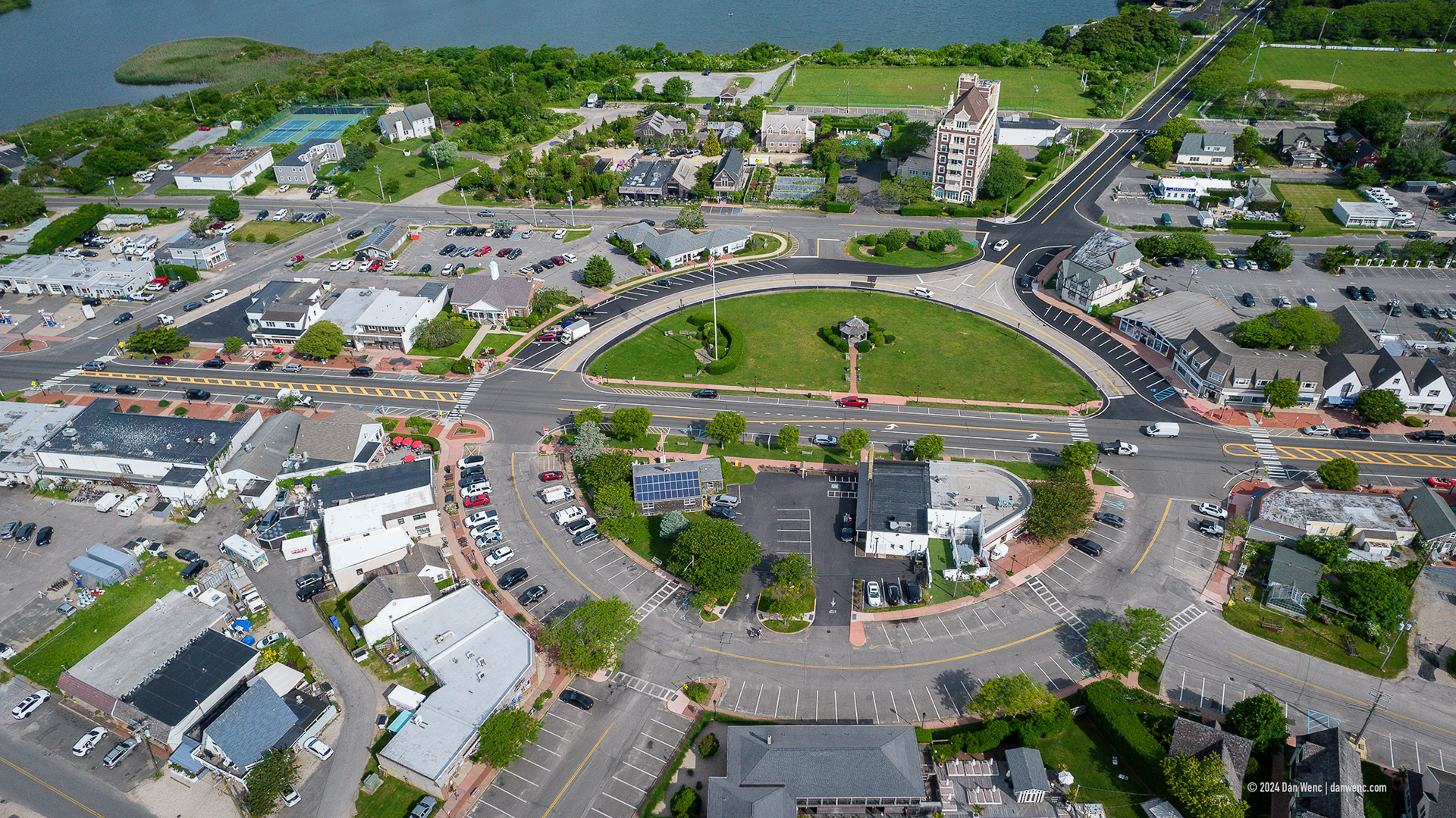
Montauk, NY
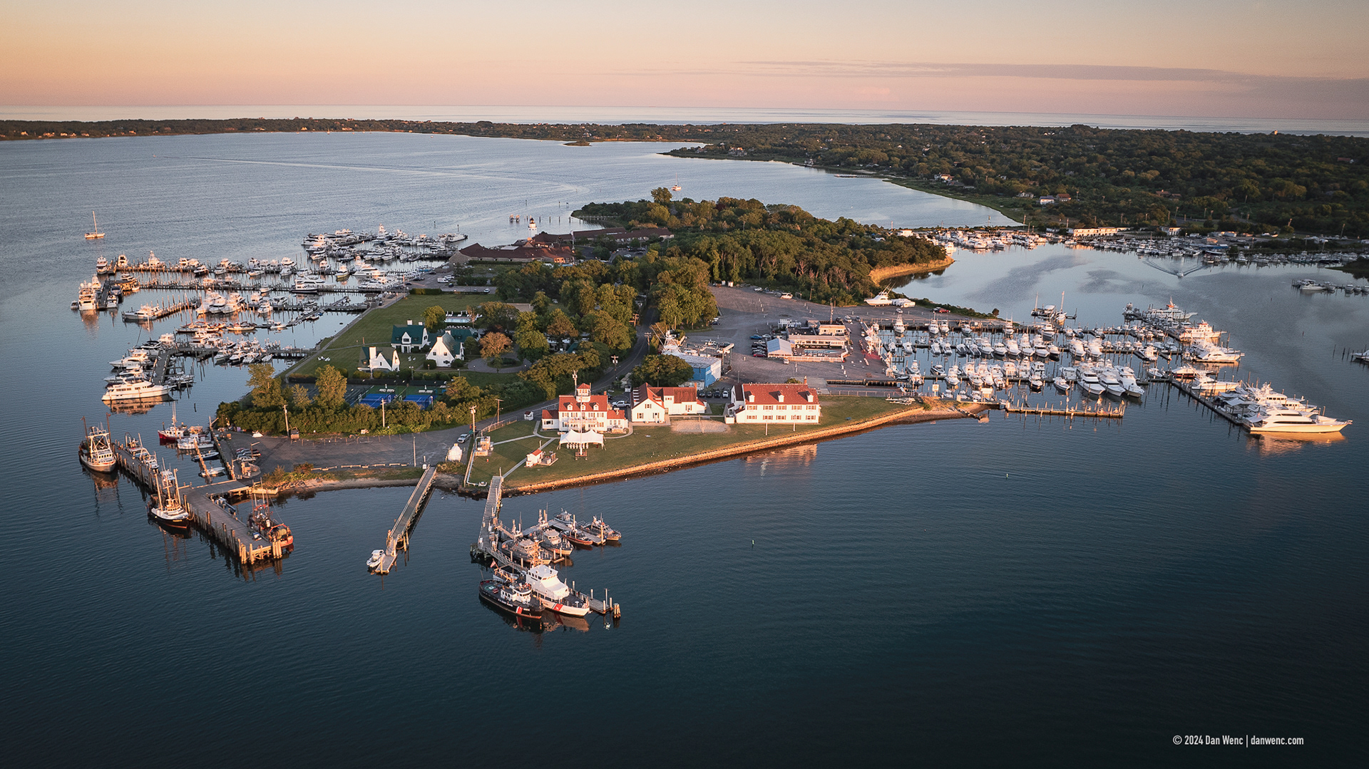
Gosman's Dock - Montauk, NY
Montauk, NY
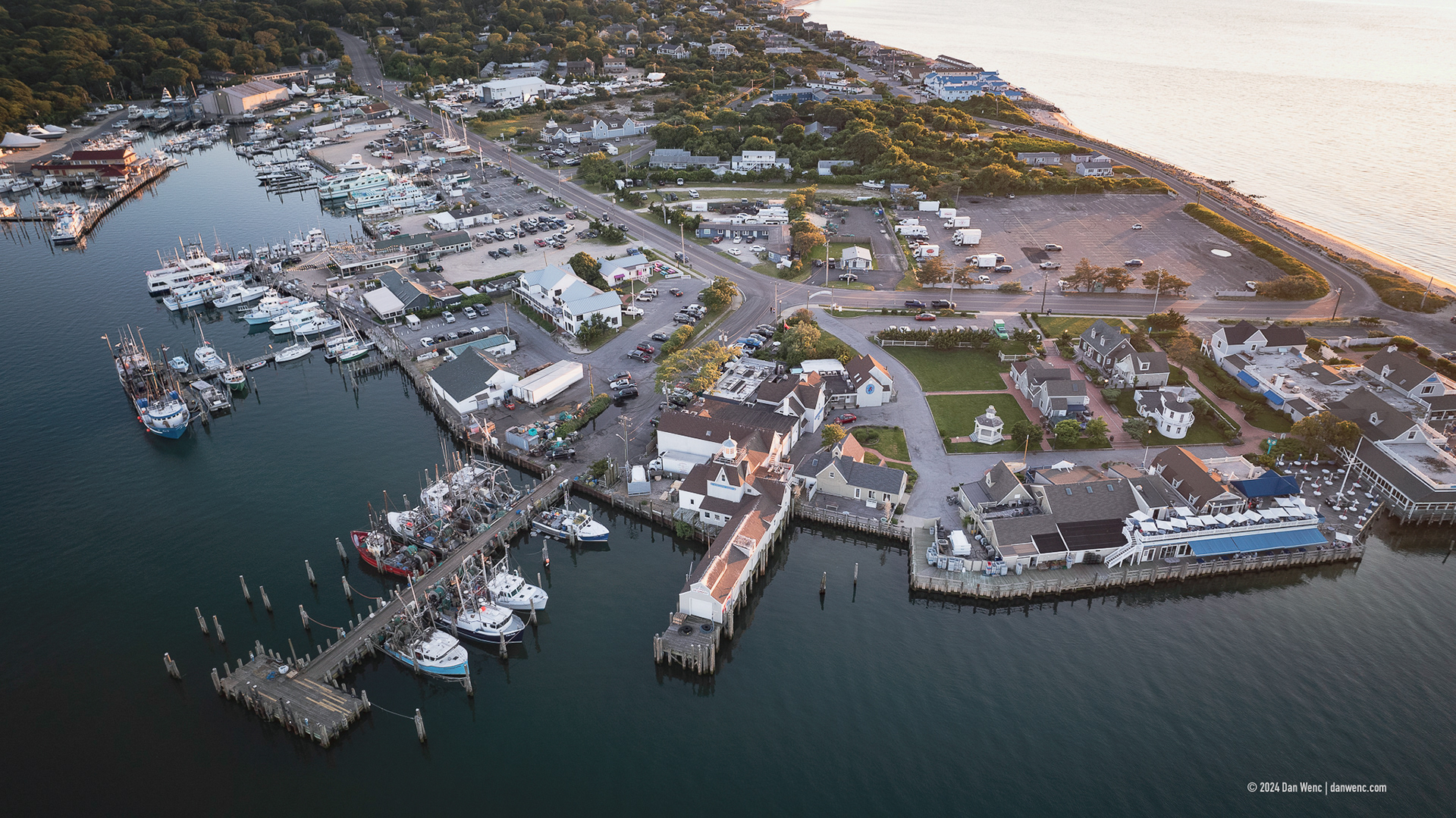
Montauk, NY

Montauk, NY
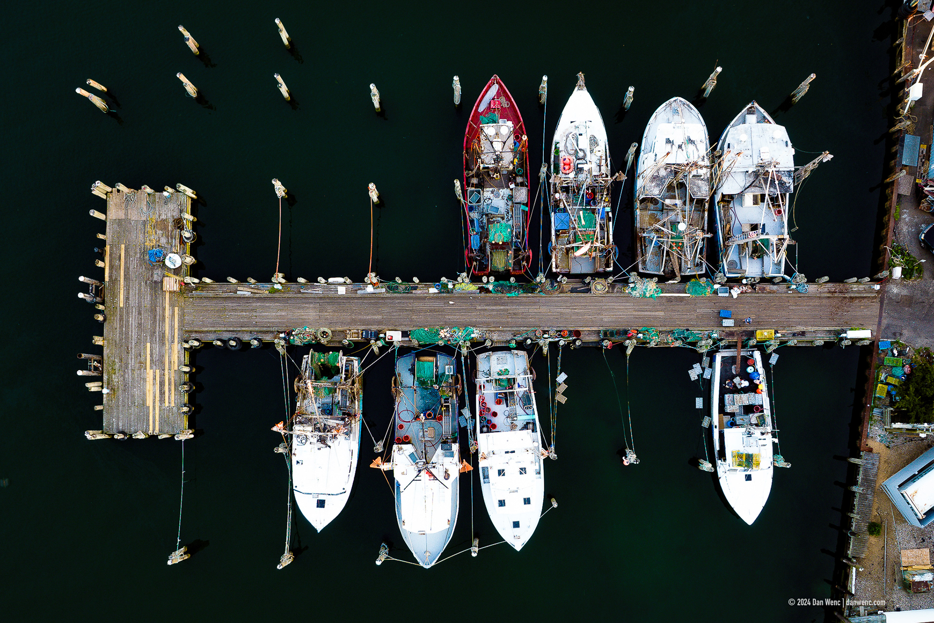
Fishing Boats - Montauk, NY
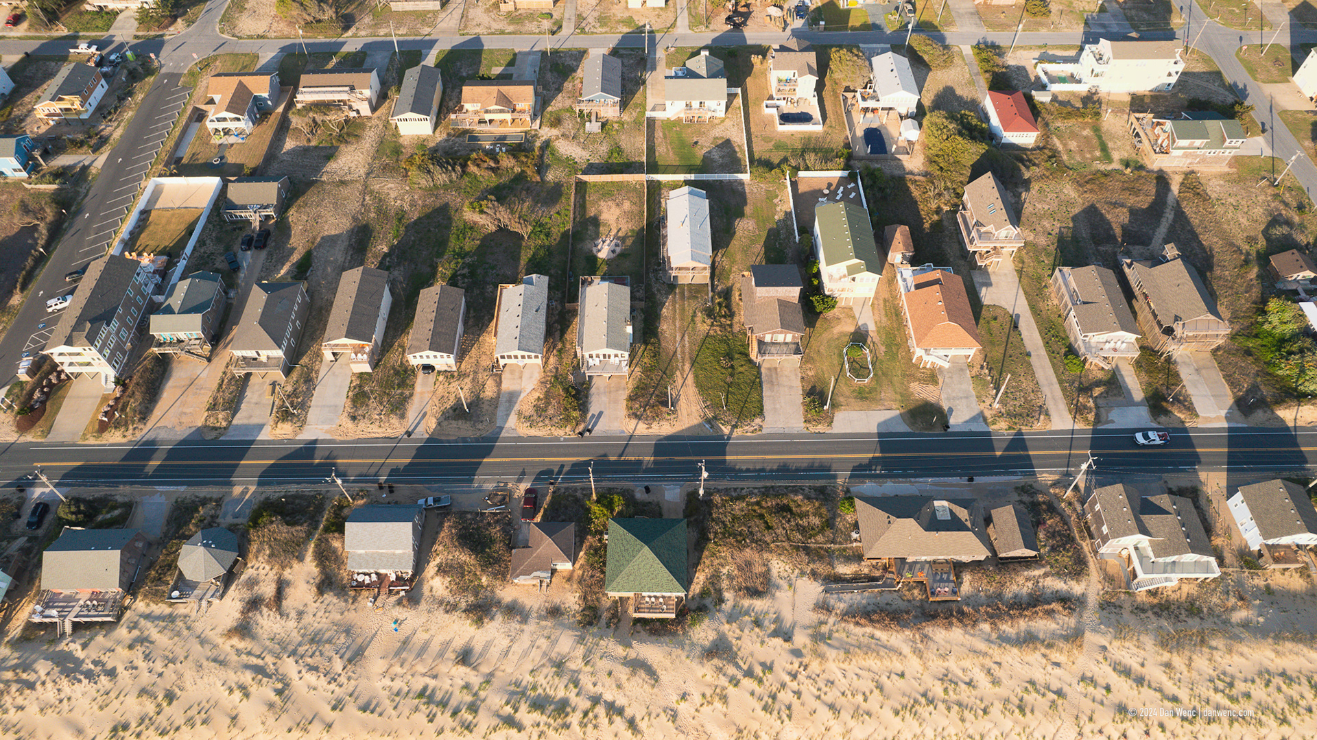
Kitty Hawk, NC
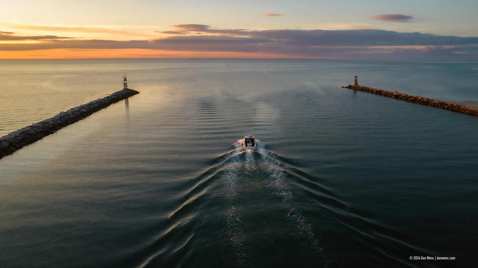
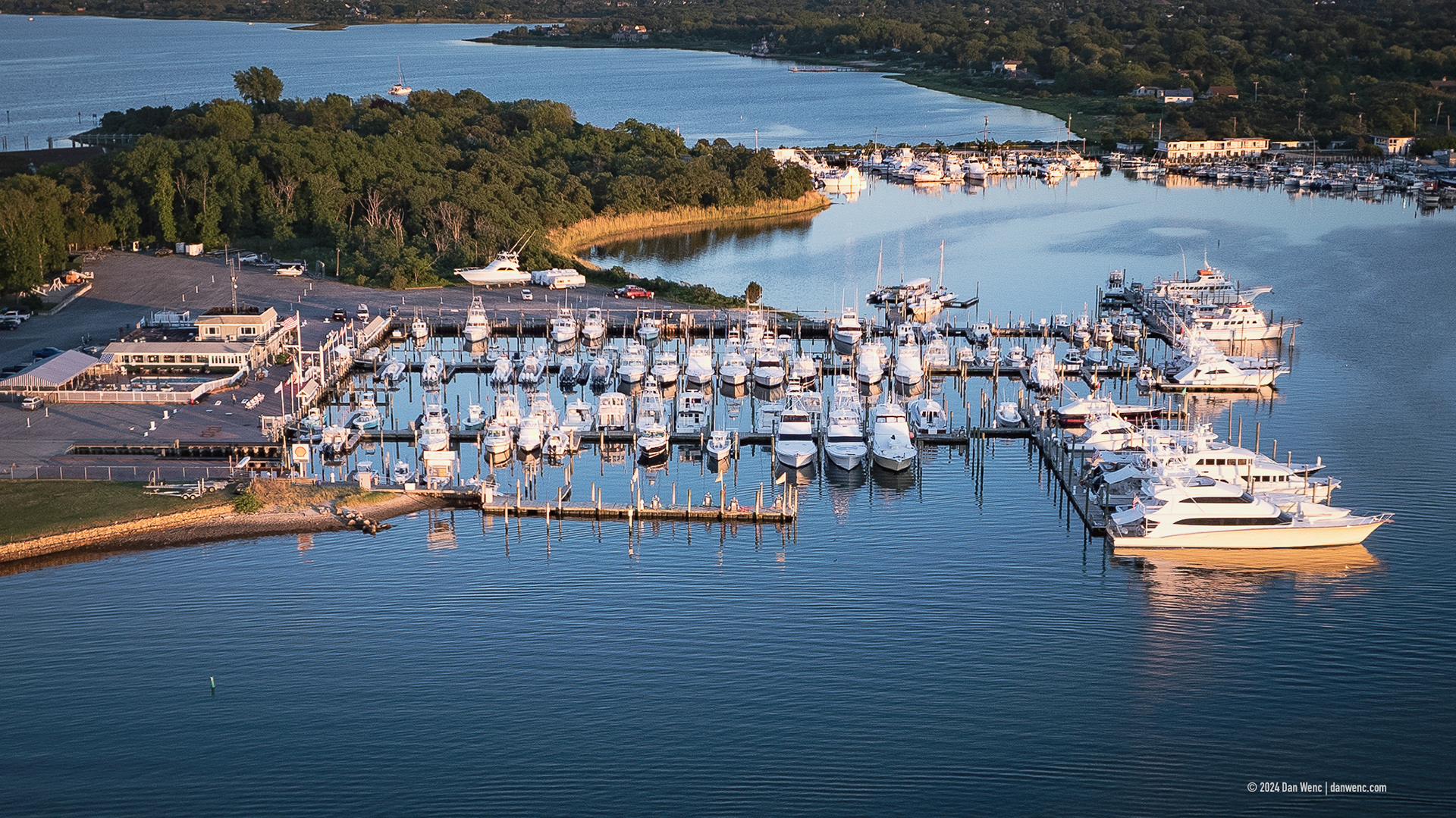
Montauk Harbor
Lasell Field - Northbridge, Mass.
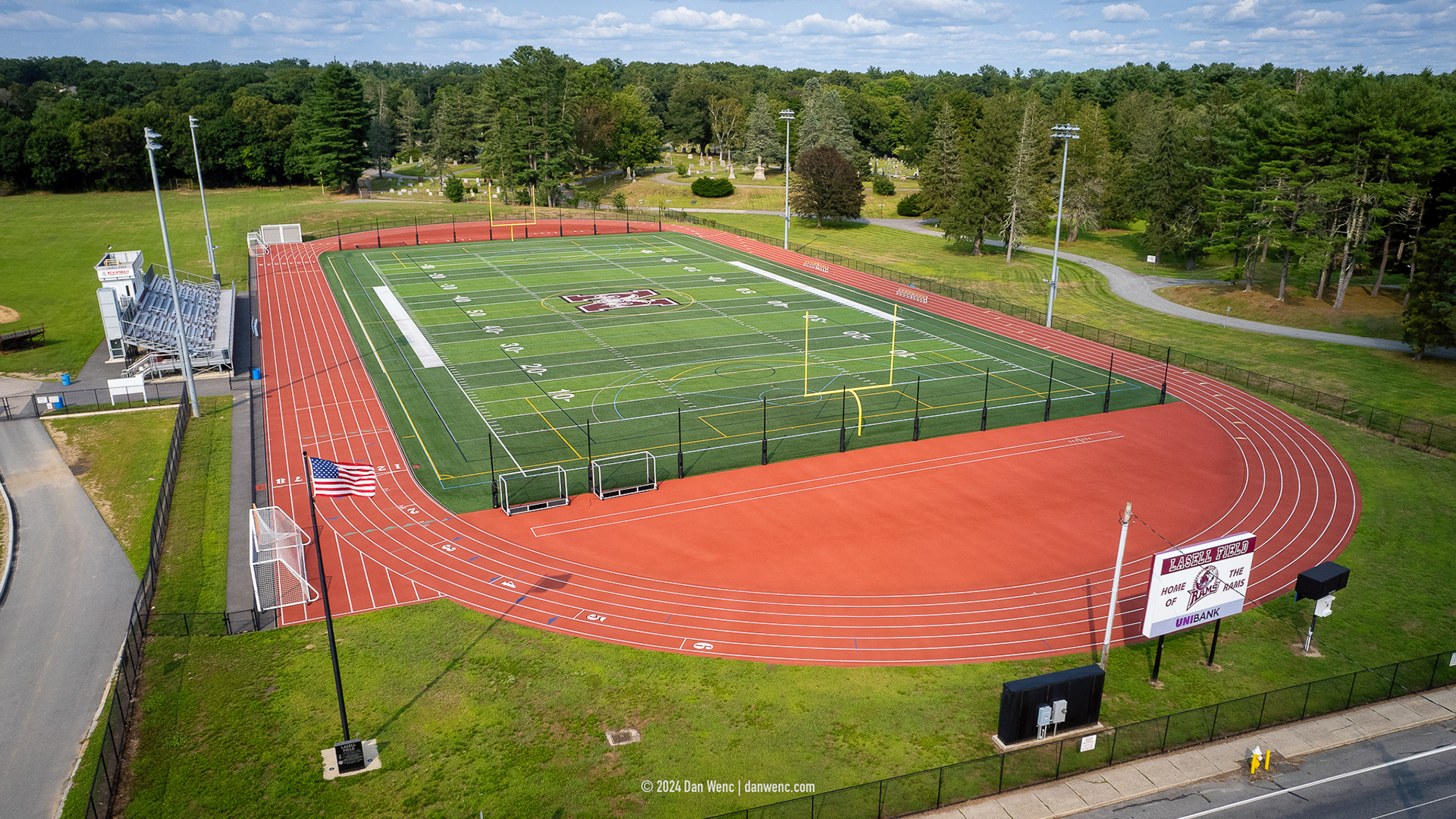
Lasell Field - Northbridge, Mass.
Lasell Field - Northbridge, Mass.
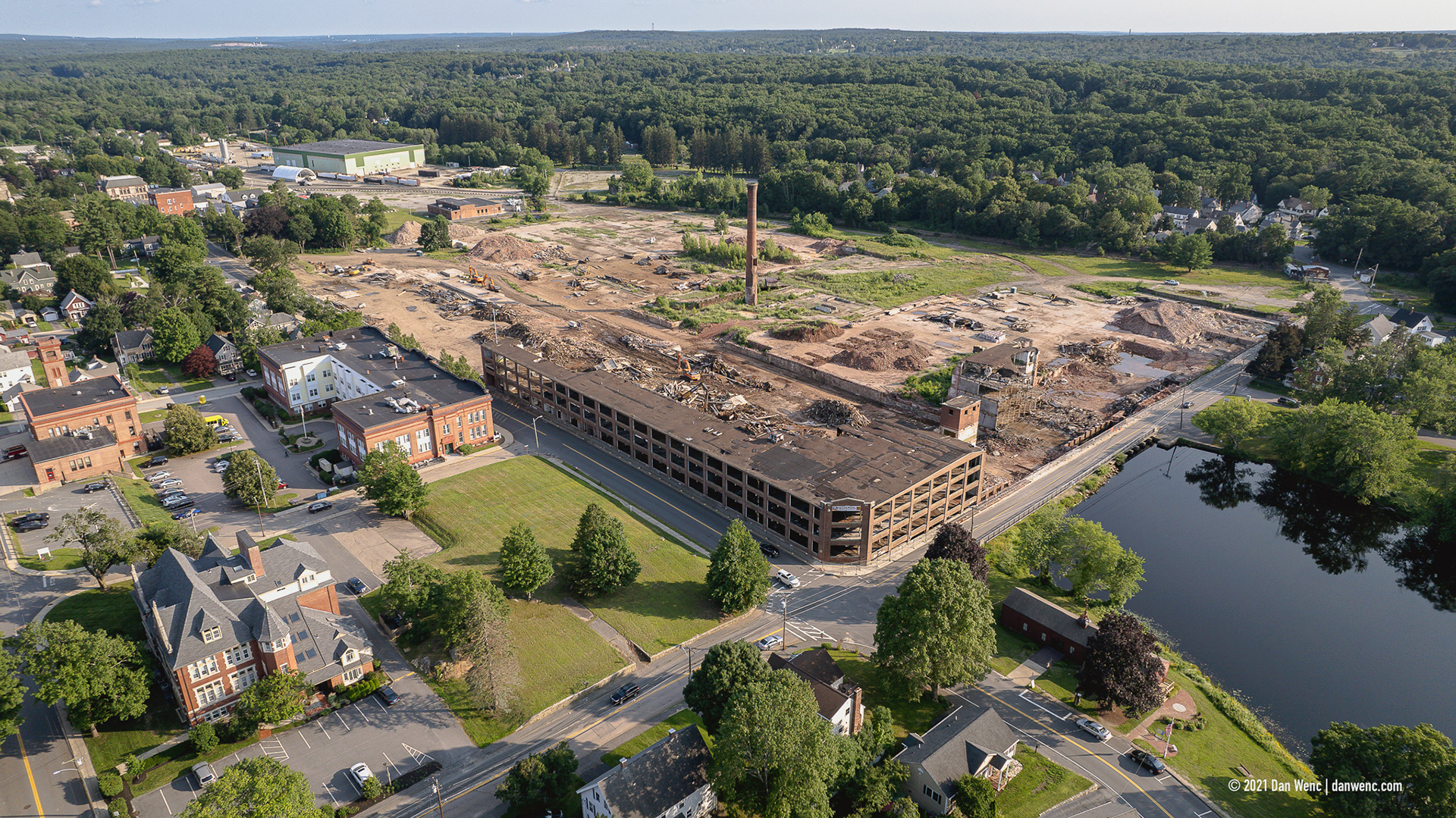
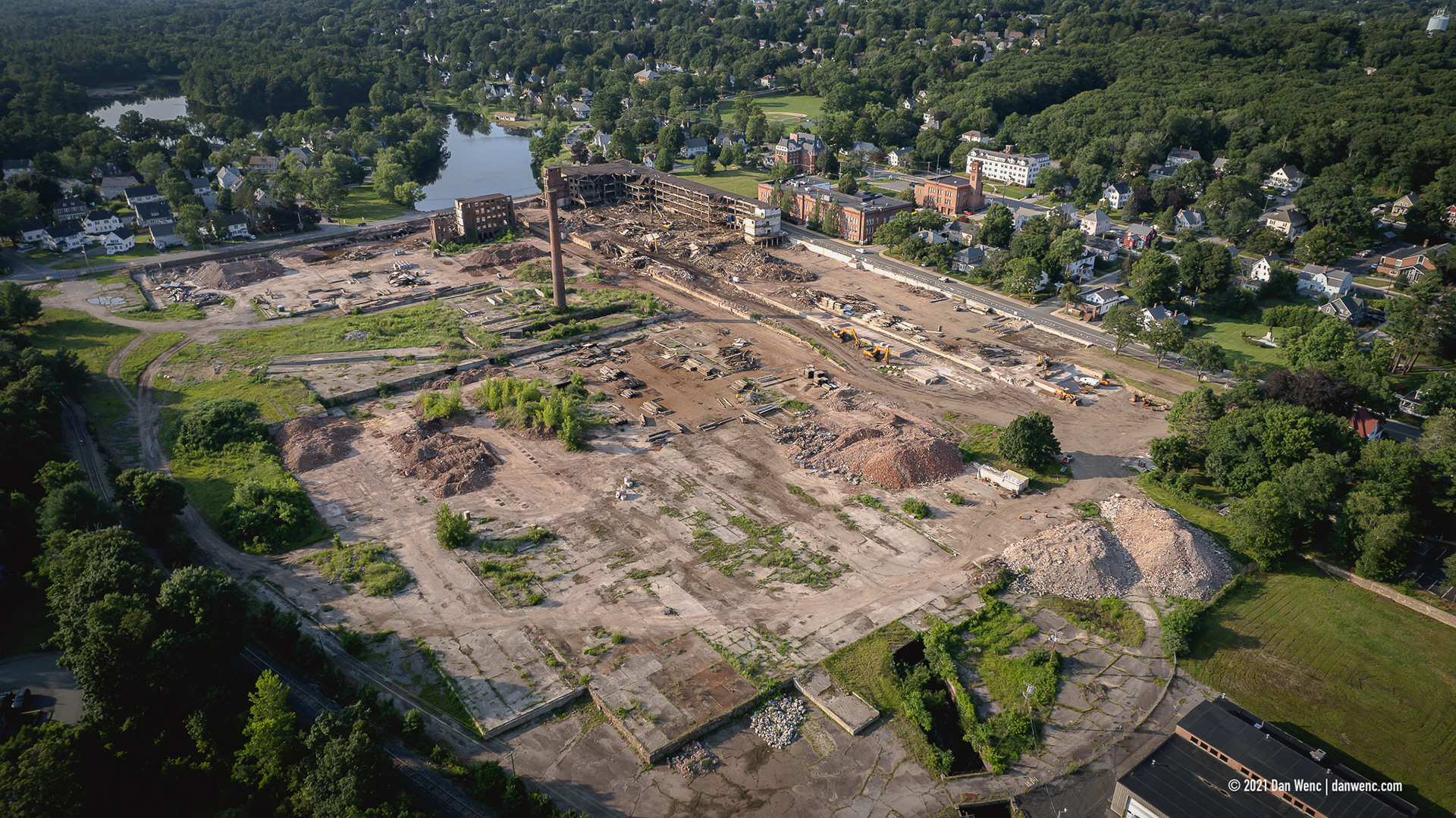
Draper Mill - Hopedale, MA
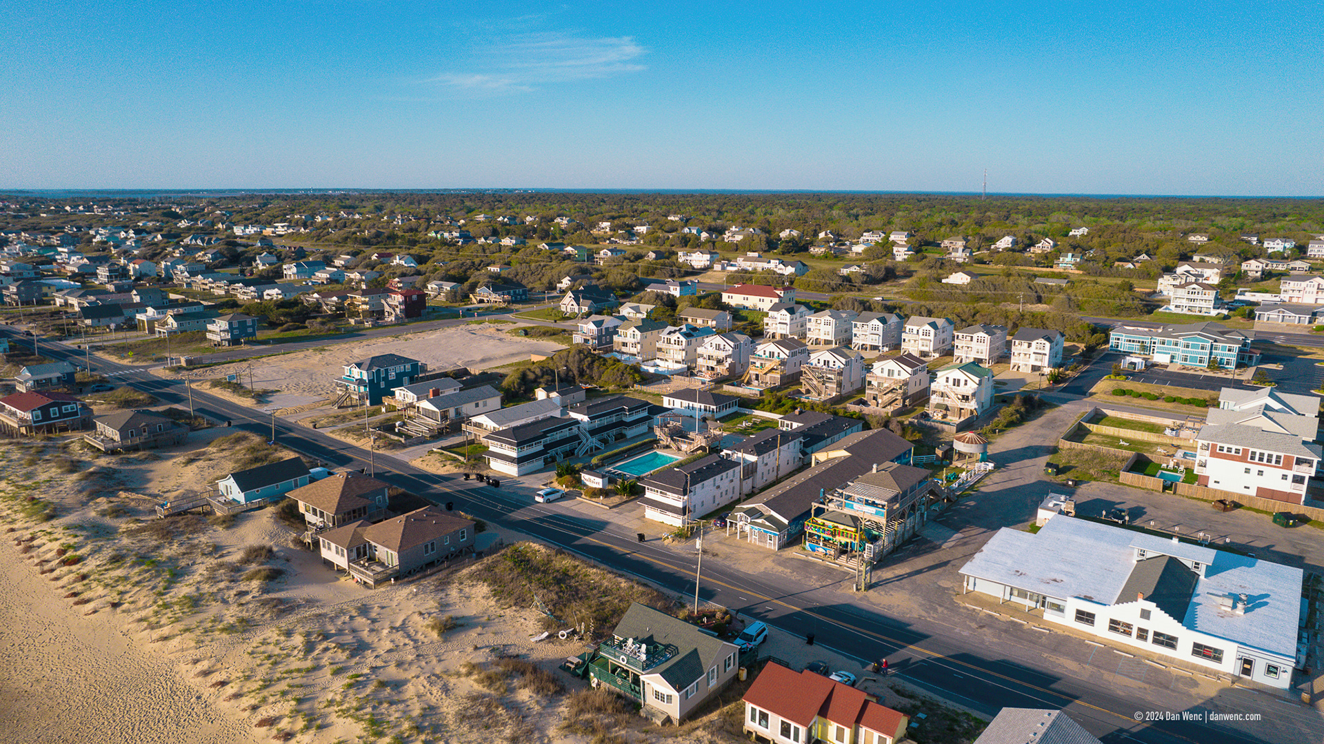
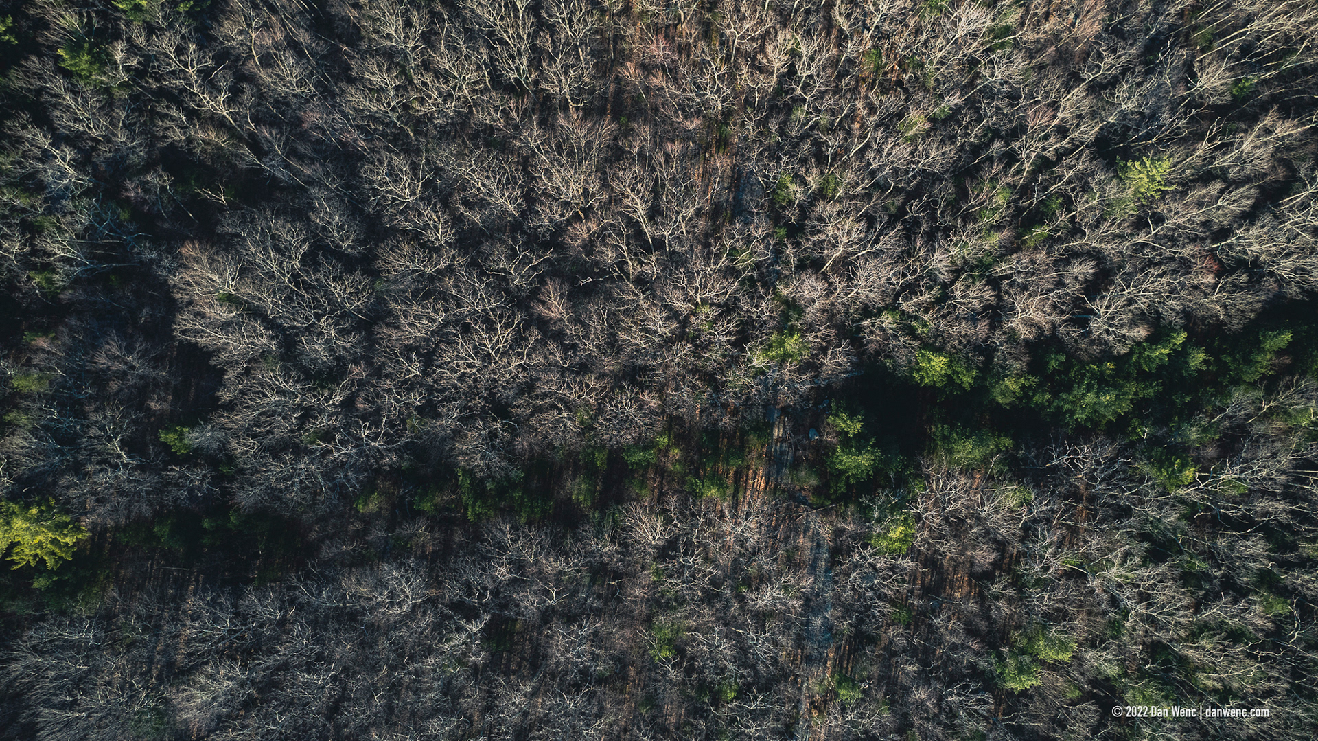
Kitty Hawk, NC

Kitty Hawk, NC
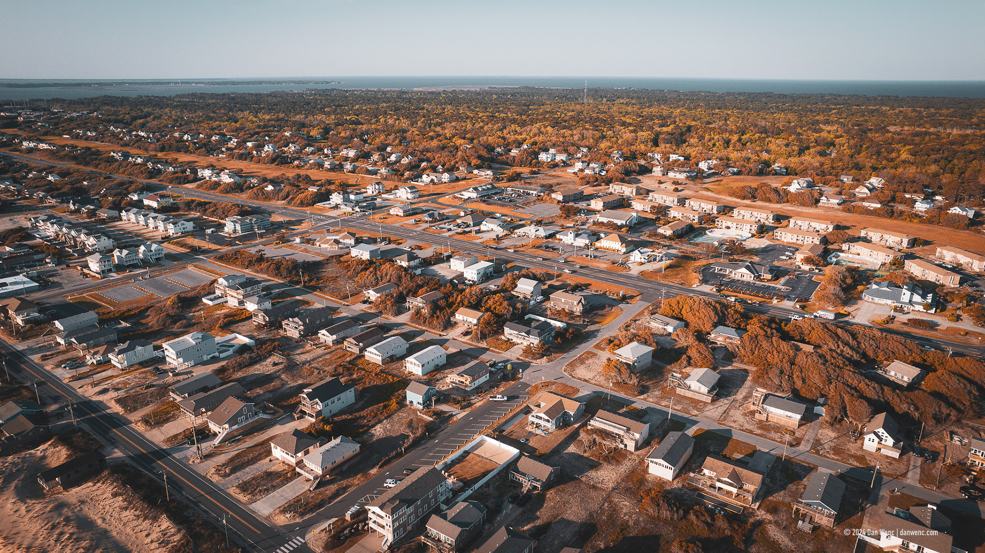
Kitty Hawk, NC
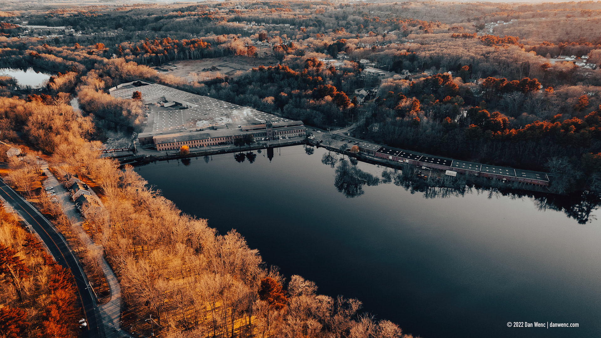
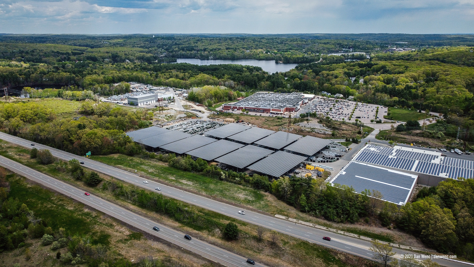
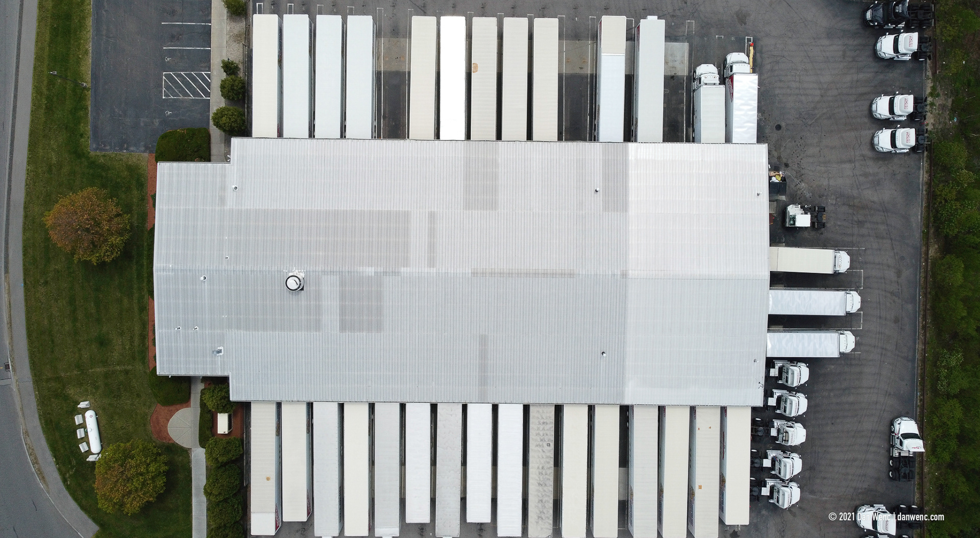
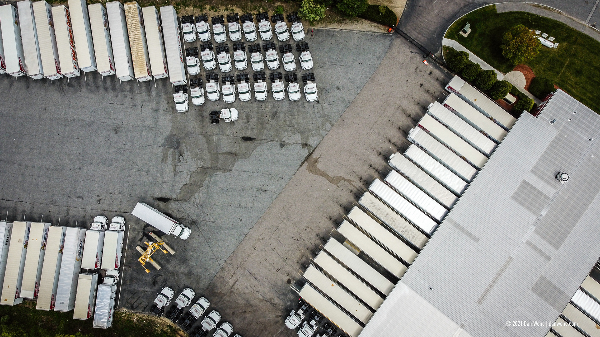
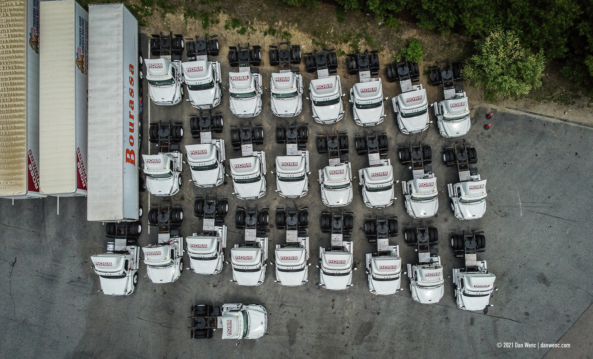
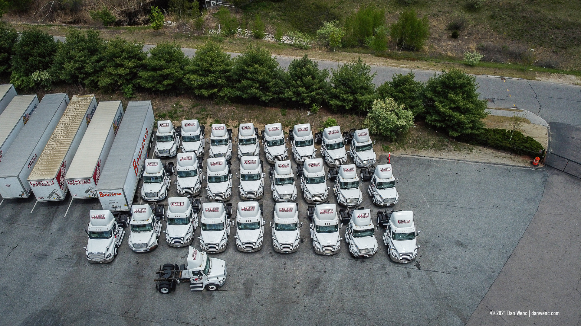
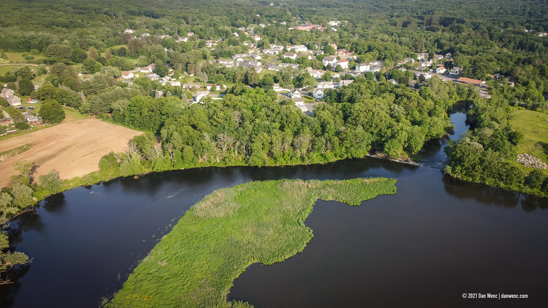
Riverdale Mills - Northbridge, MA
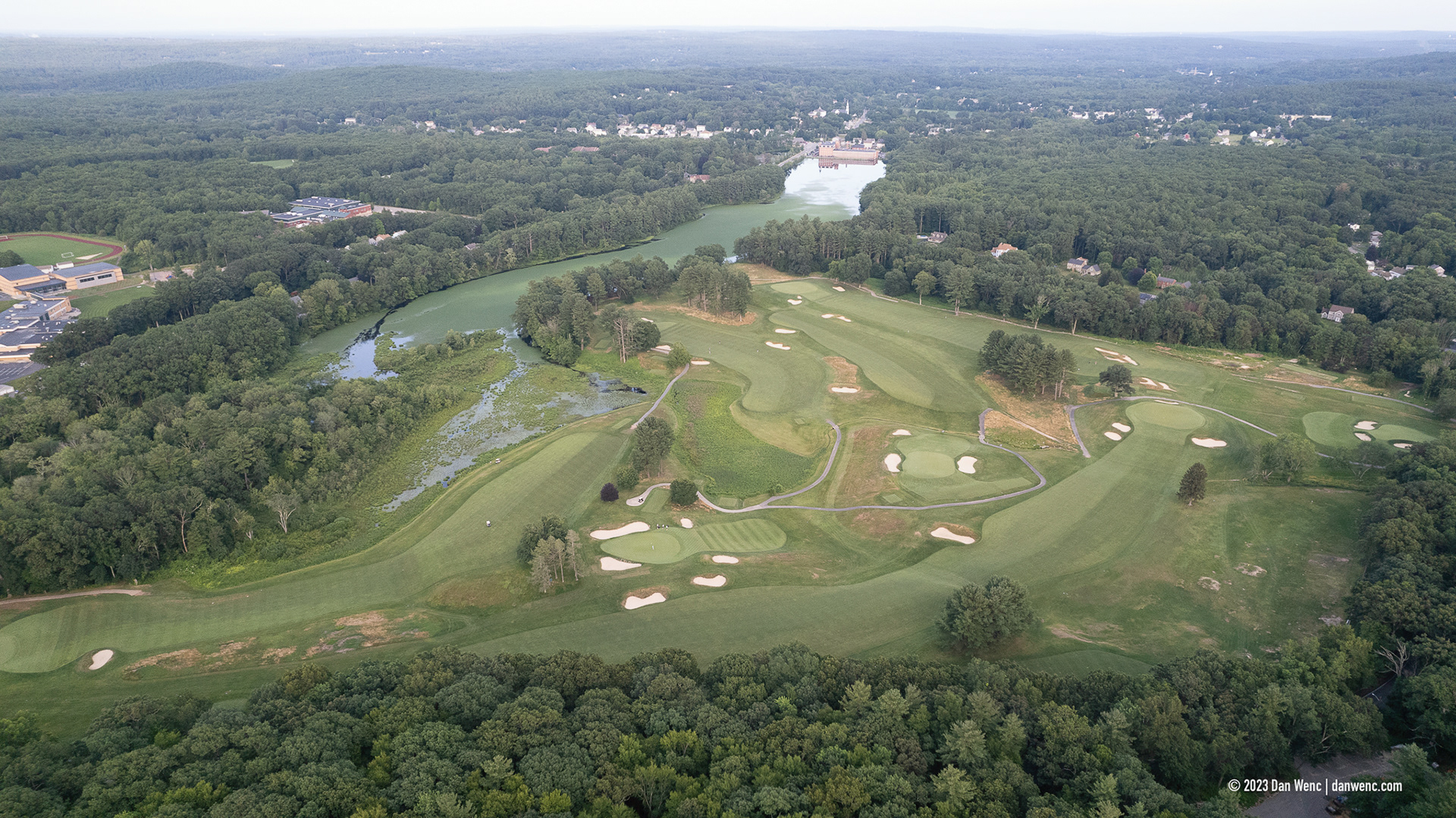
Whitinsville Golf Club - Whitinsville, MA
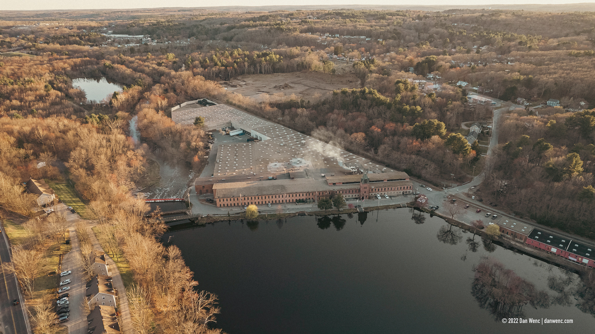
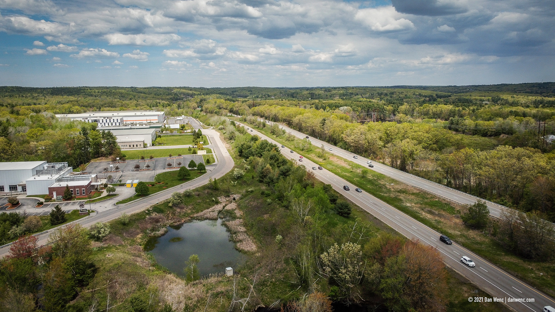
Riverdale Mills - Northbridge, MA
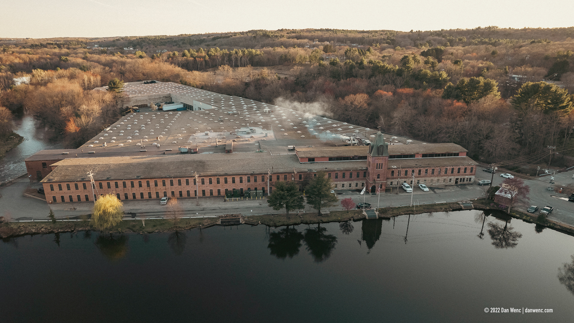
Riverdale Mills - Northbridge, MA
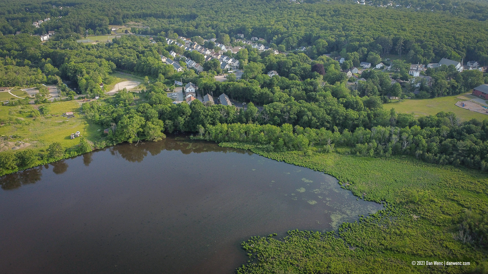
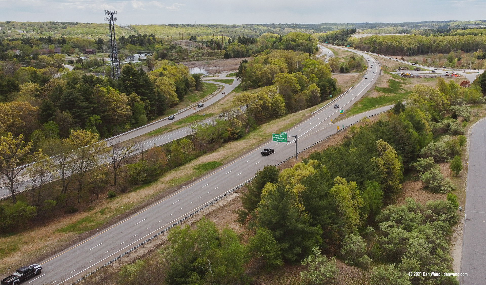
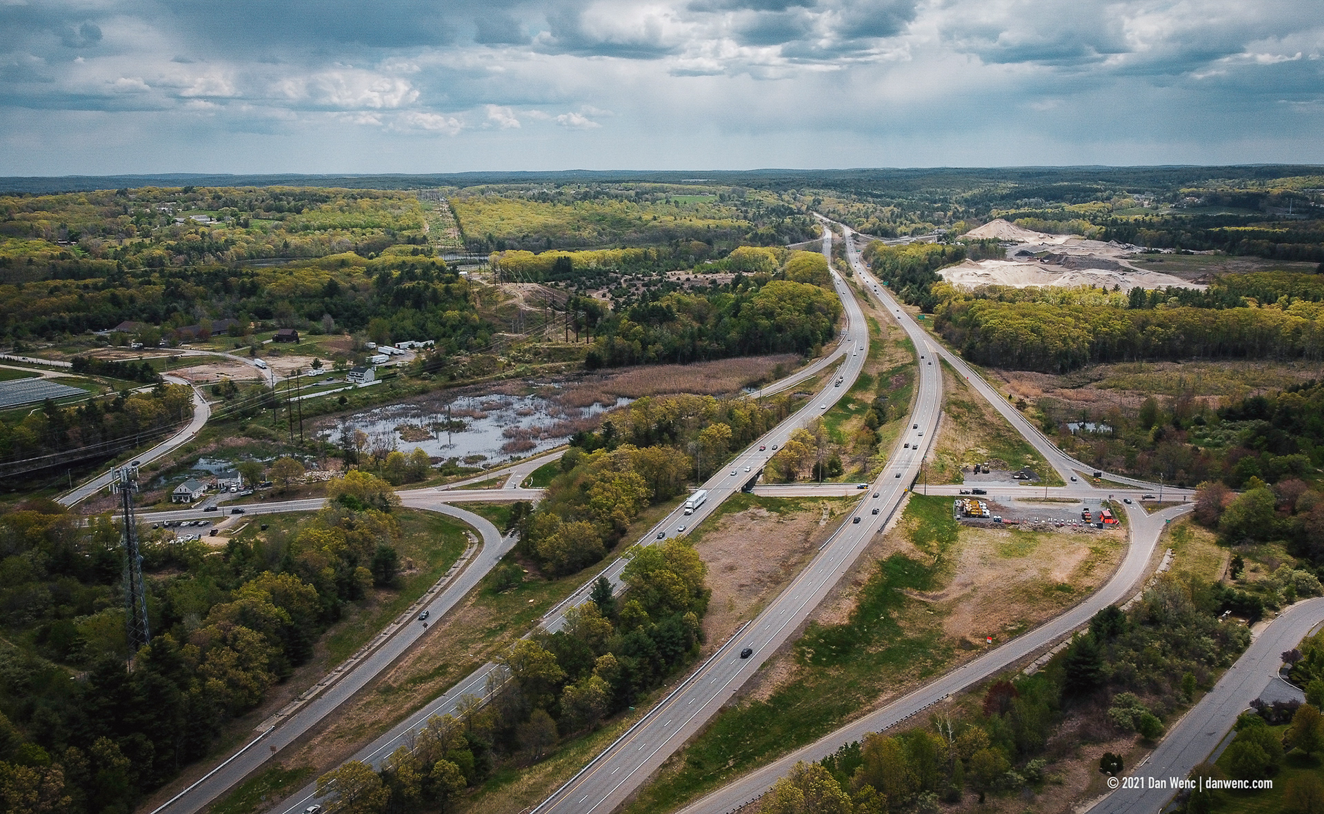
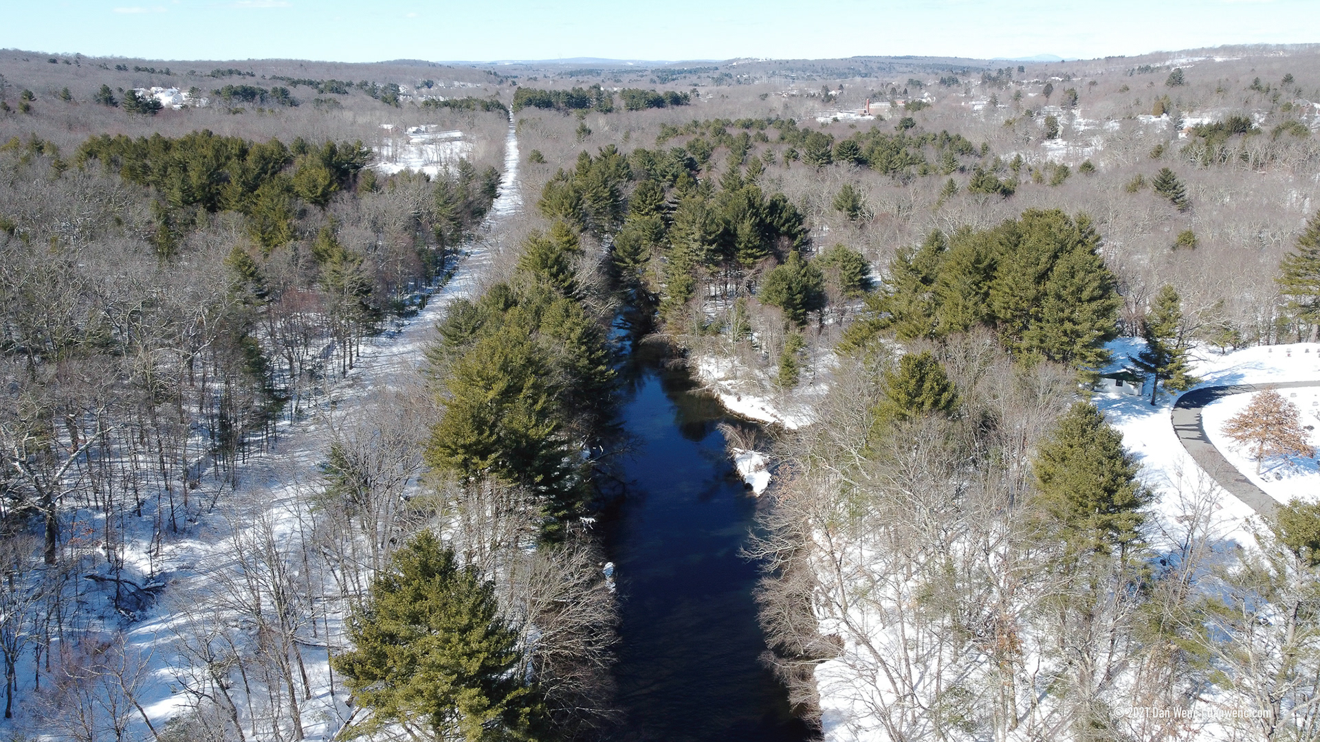
Hopedale, MA
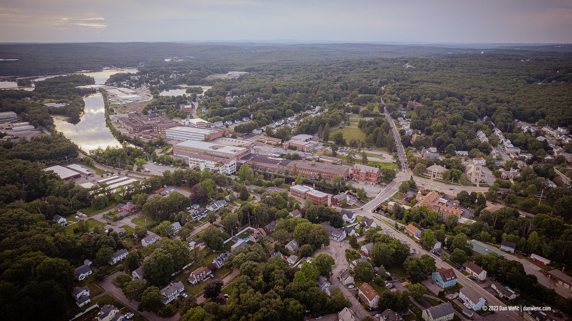
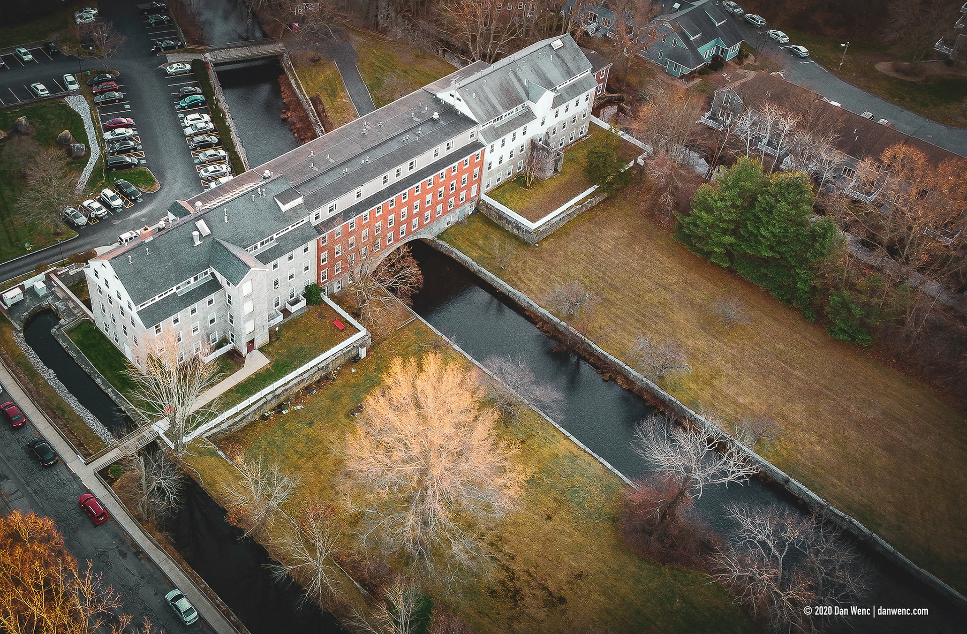
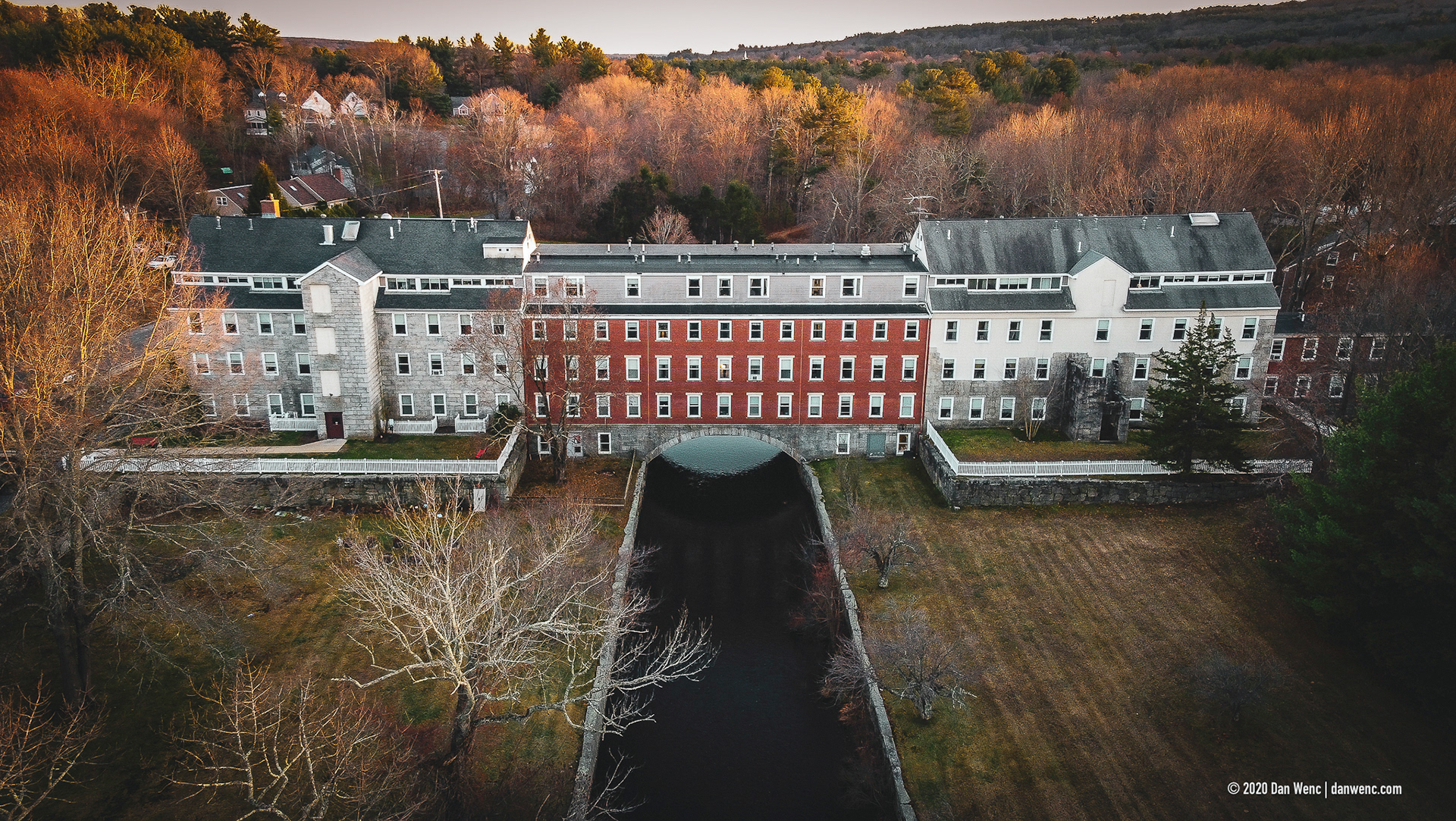
Whitin Mill Complex - Whitinsville, MA
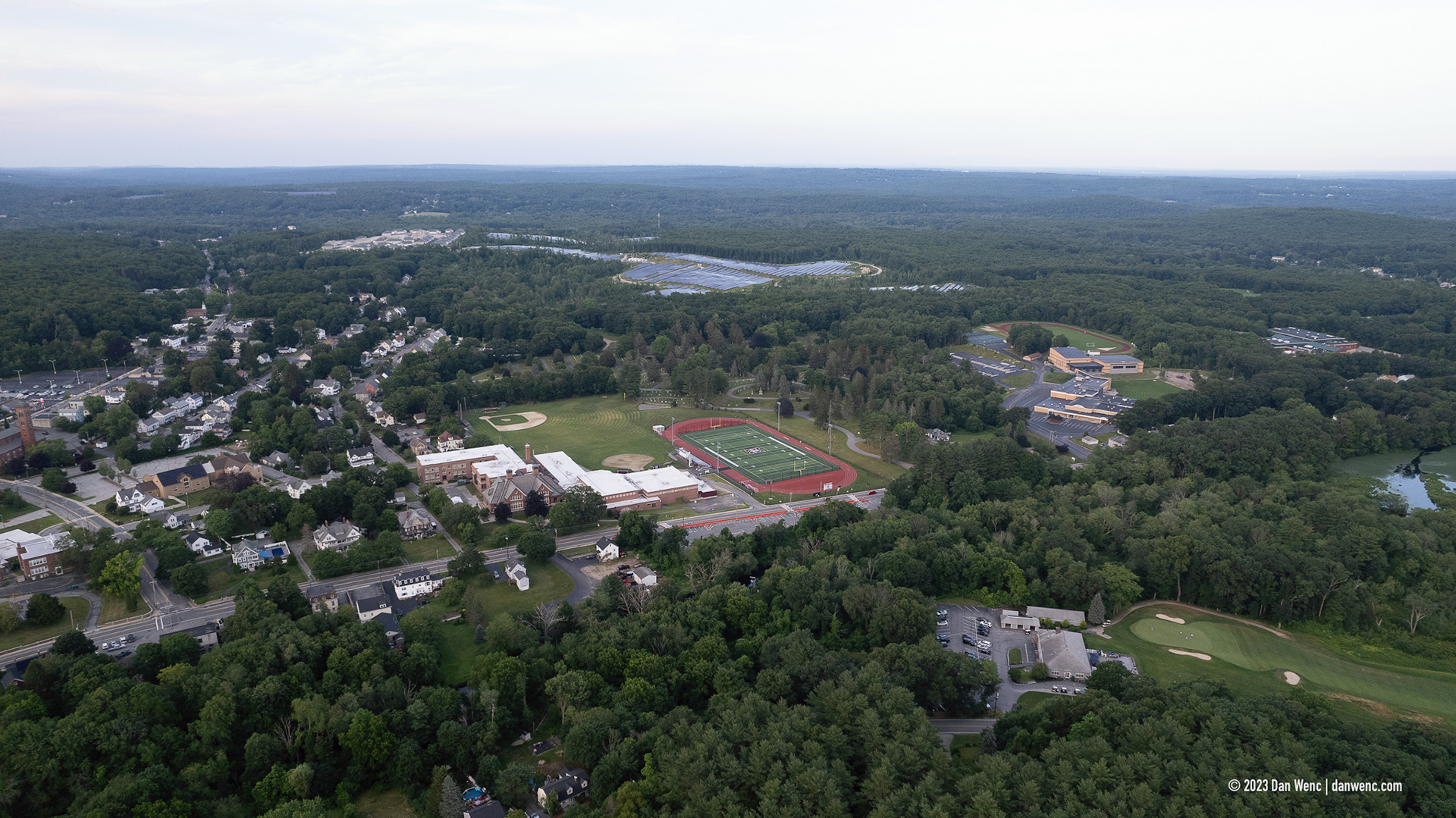
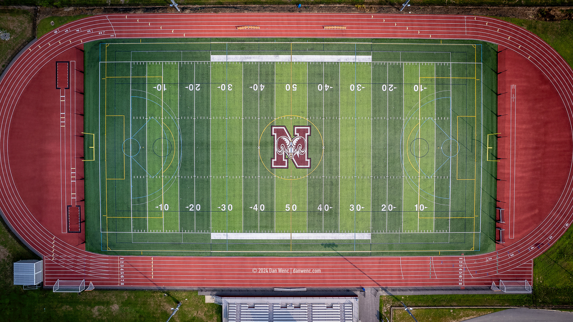
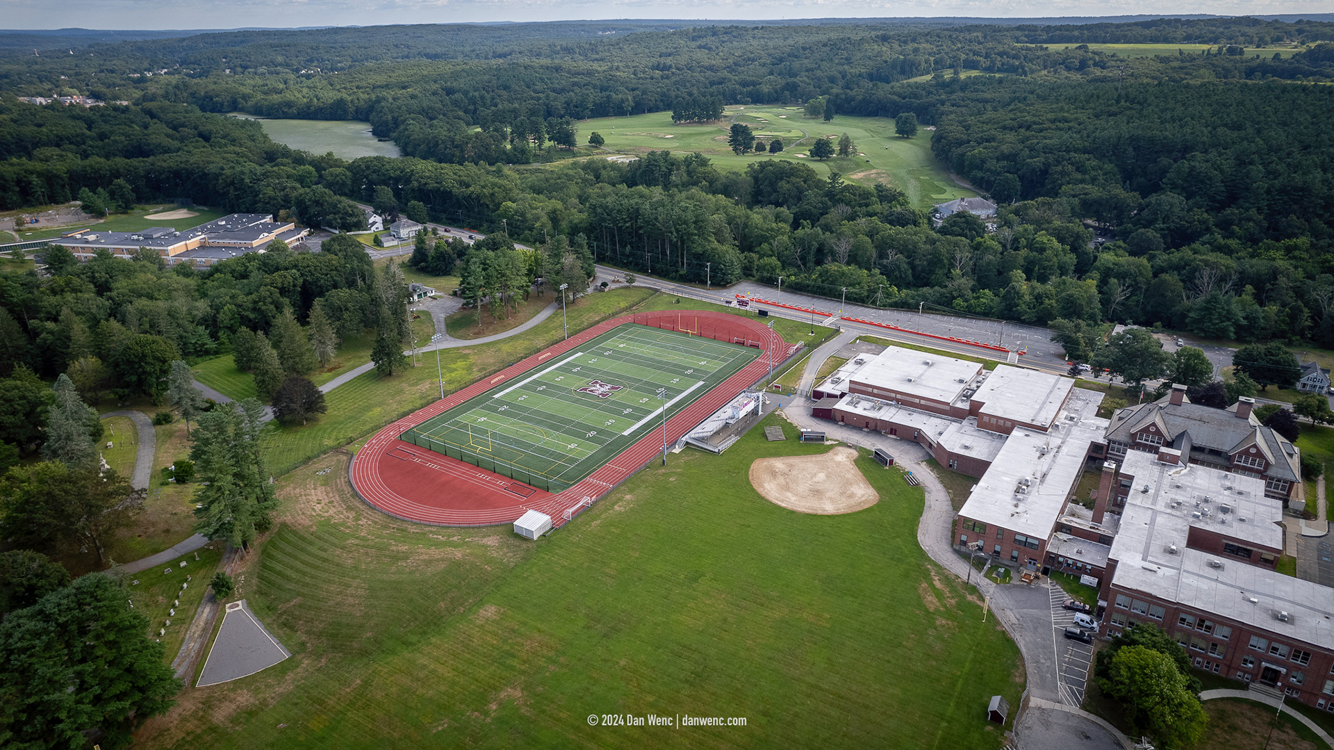
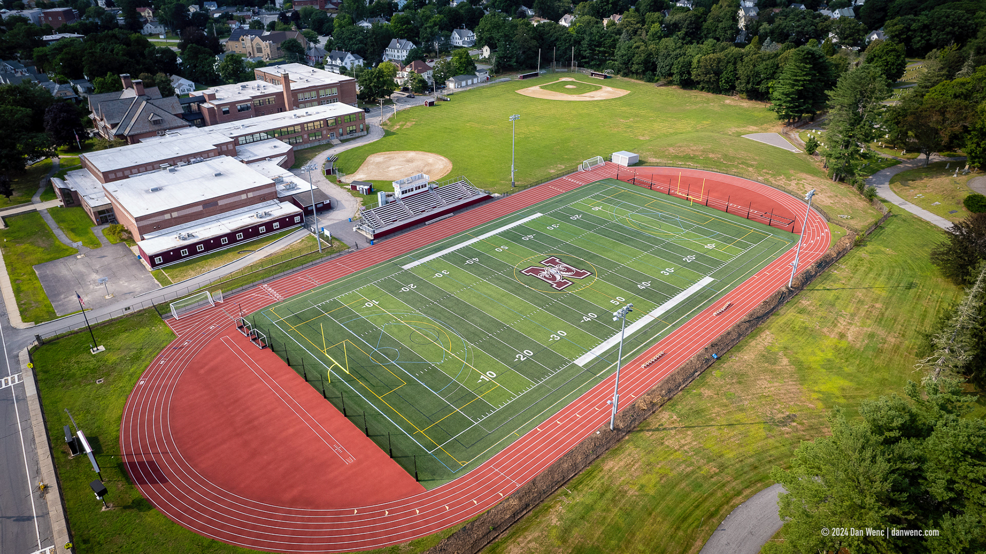
Northbridge High School

Whitinsville Golf Club - Whitinsville, MA
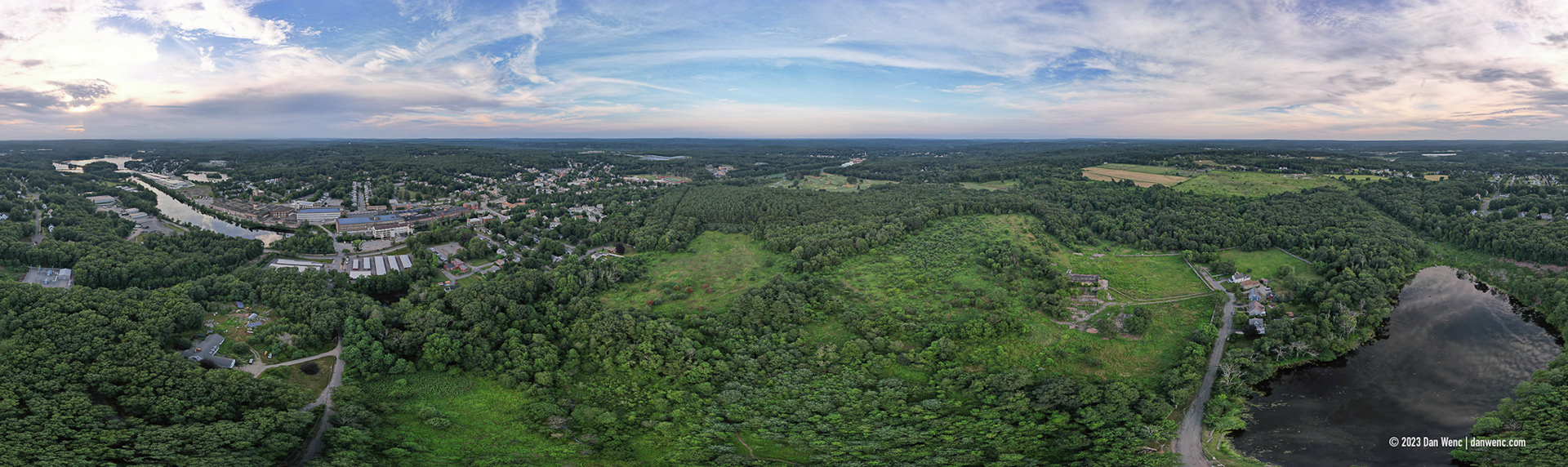
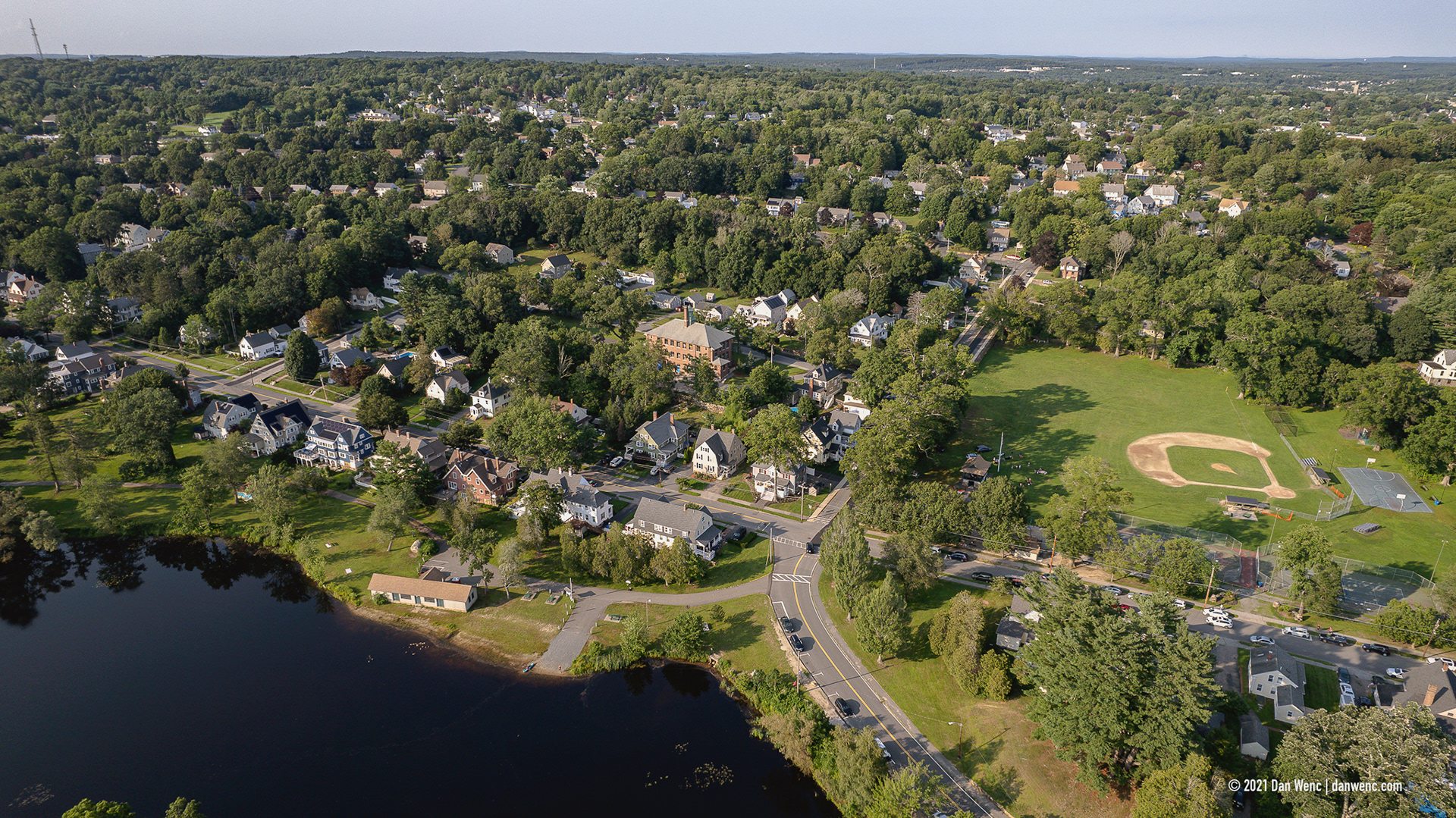
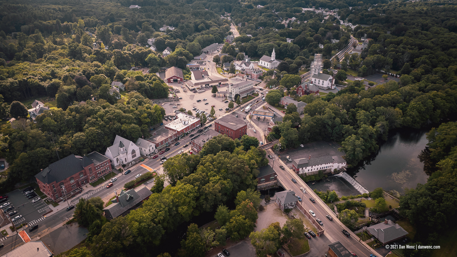
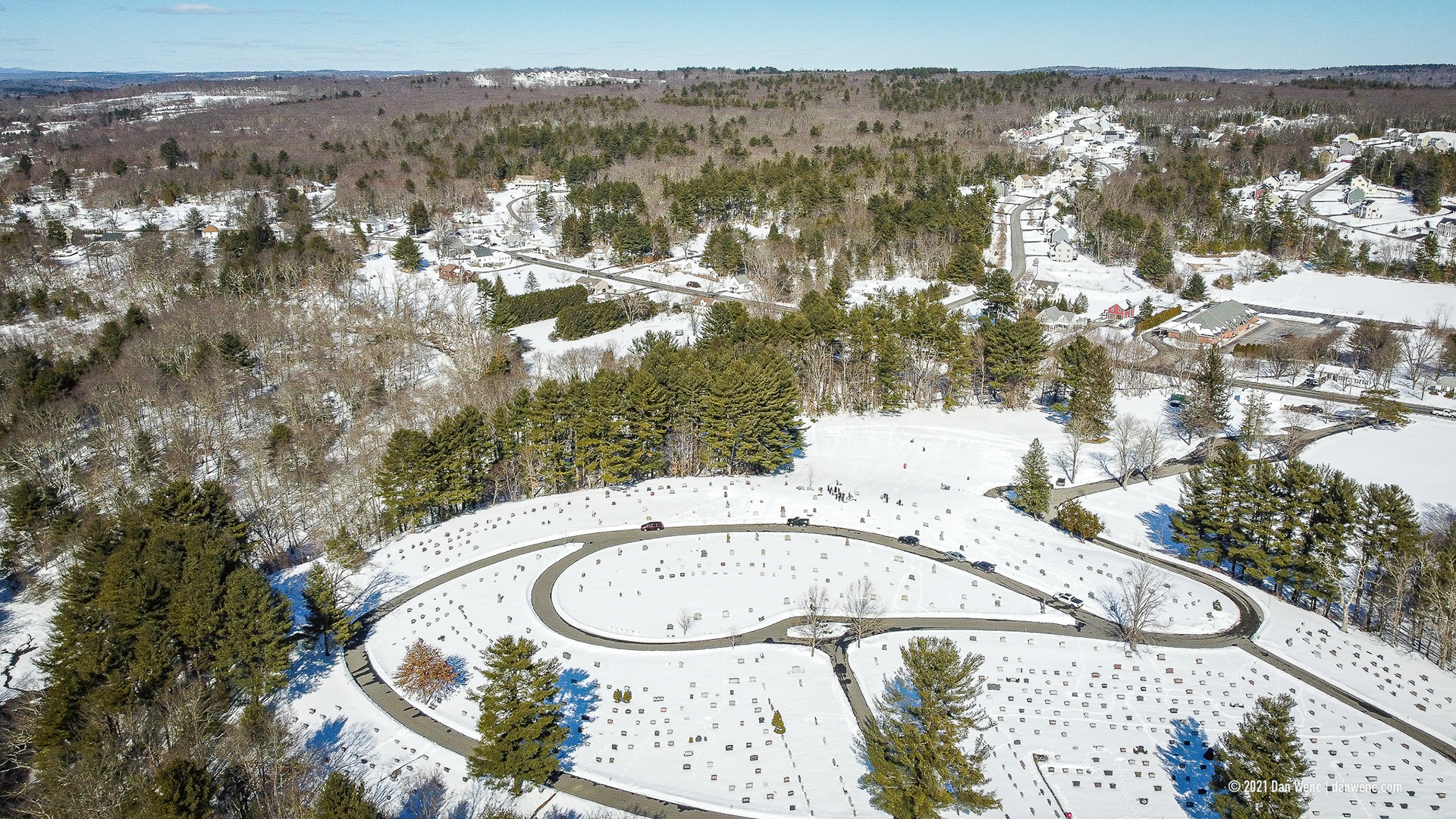
Whitinsville, MA
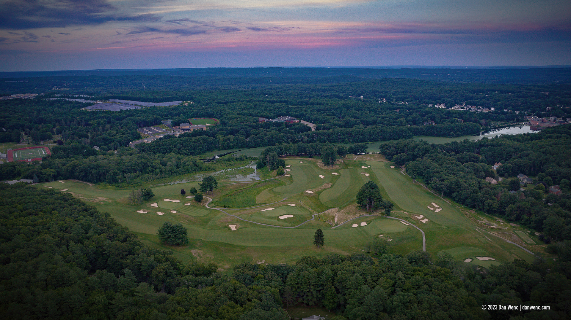
Whitinsville Golf Club - Whitinsville, MA
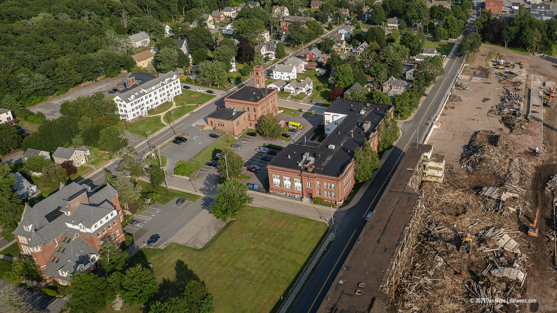
Crown & Eagle Mill - Uxbridge, MA
Crown & Eagle Mill - Uxbridge, MA

Crown & Eagle Mill - Uxbridge, MA
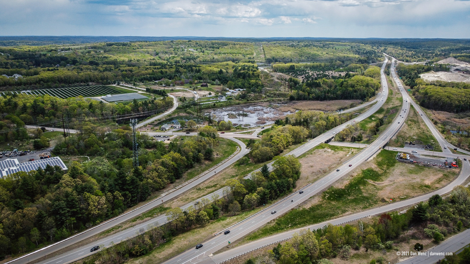
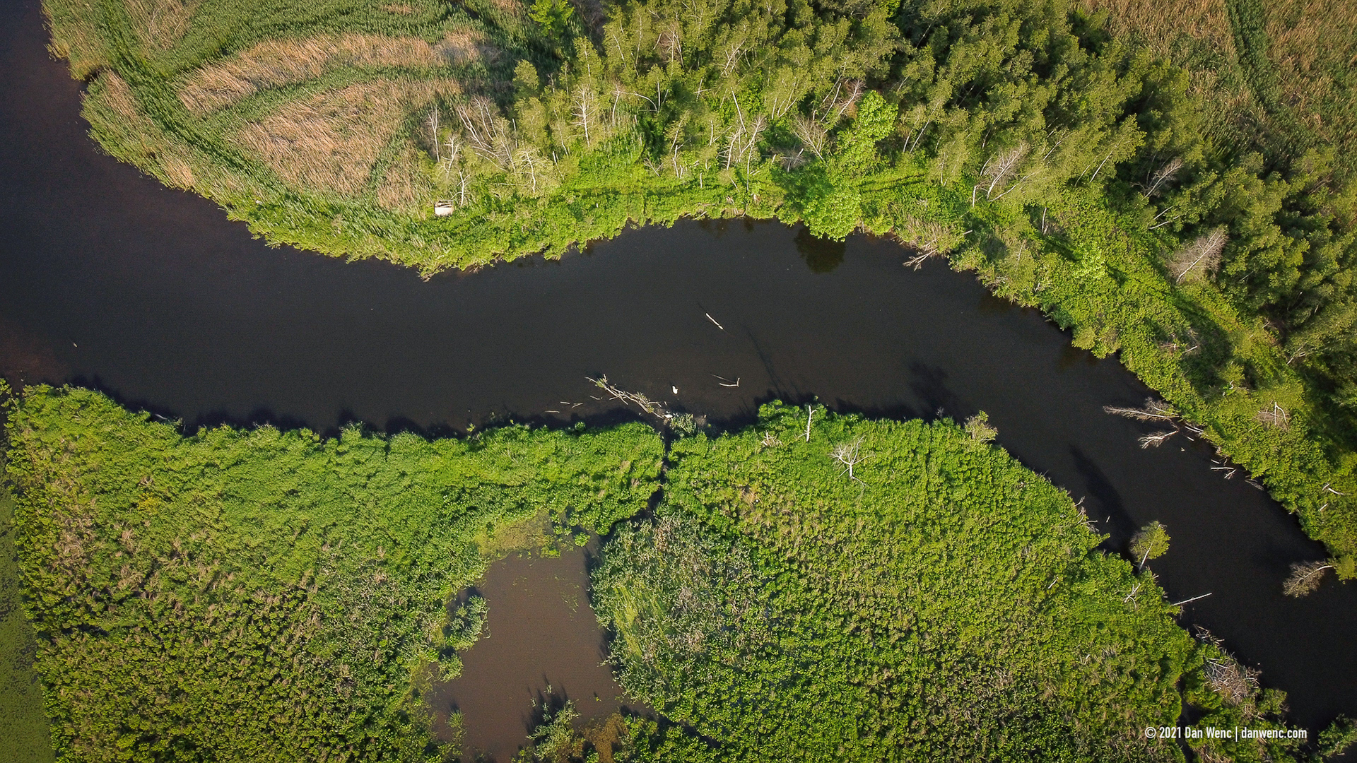
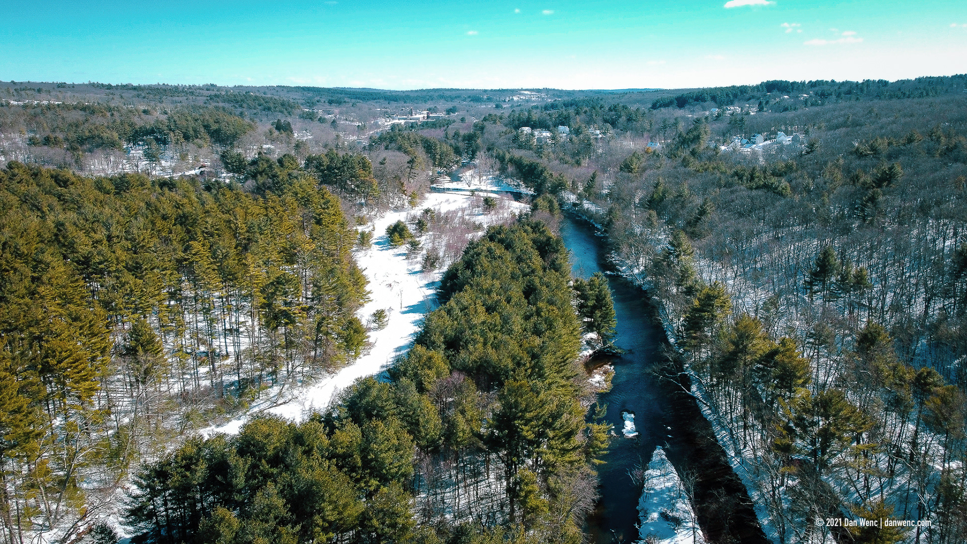
South Grafton, MA
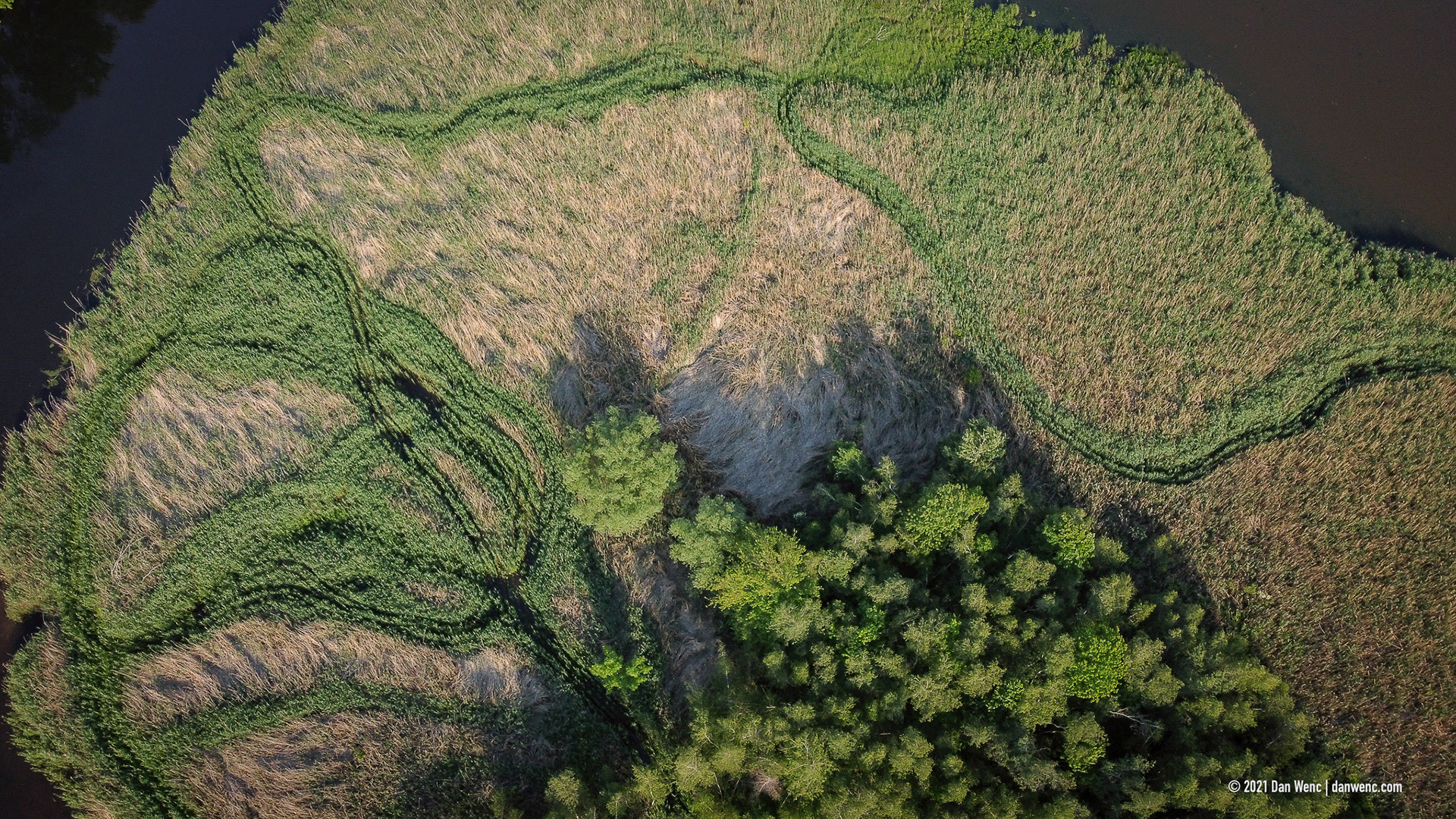
South Grafton, MA


Douglas, MA